
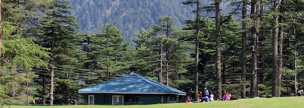
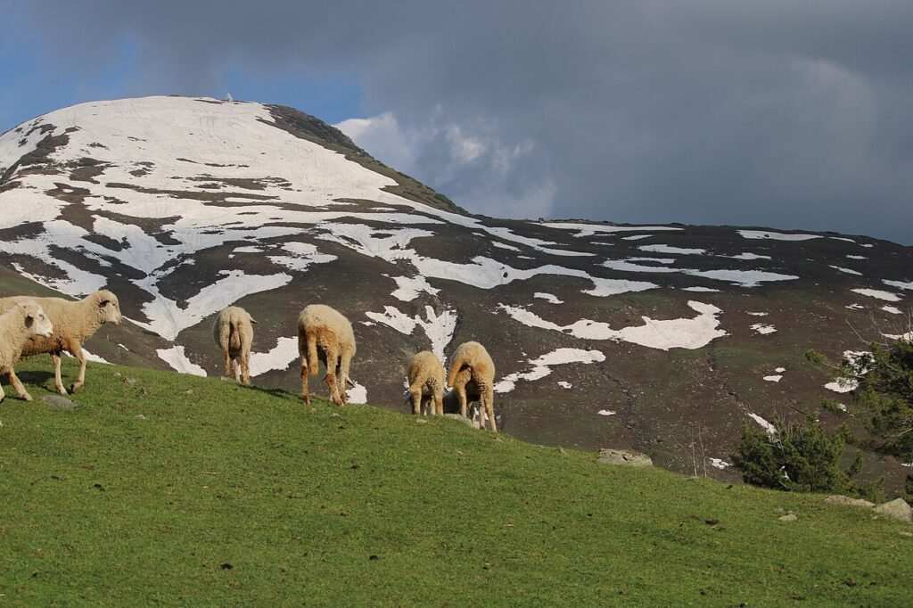
Patnitop
The Lush Wooded Pine Forest In Patnitop Offers Ample Opportunity For Trekking[/caption]This state is known for its many picturesque locations and landmarks, and travelling to Jammu and Kashmir. Patnitop is located in the Lower Himalayan Range close to the Pir Panjal range, 47 km from Udhampur and 112 km from Jammu.This famous hill resort is perched on a beautiful plateau, at an altitude of 2024 m across which the Jammu-Srinagar Highway passes. The towns of Kud and Batote are nearby. Kud is a very small town where sweet shops make fresh Patissa (a sweet). It may be bought hot and melts in one’s mouth. Batote is known as a place for quality rajma or the kidney bean.
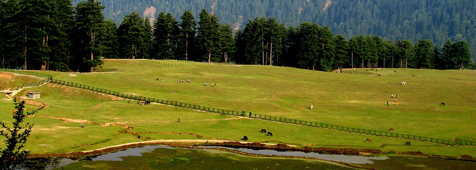
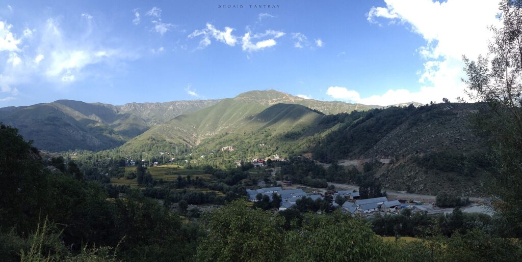
Sanasar
Sanasar is the name given to the two small villages of Sana and Sar in Jammu province, Jammu and Kashmir state, India. Named after small local lakes, Sana and Sar are located 20 km west of Patnitop, Udhampur district on the NH 1A. A nearby mountain range is called the Shanta Ridge. The Shank Pal Temple is located at the highest point of the Shank Pal ridge, at an altitude of 2,800 metres, a few hours’ walk from Sanasar. The 400-year-old temple is dedicated to Nag Shank Pal. No mortar was used to join the stones of the temple. Shanta Gala is a pass on the Shanta ridge which offers a view of the Panchari valley on the other side of the ridge. The pass leads to the Lander area.
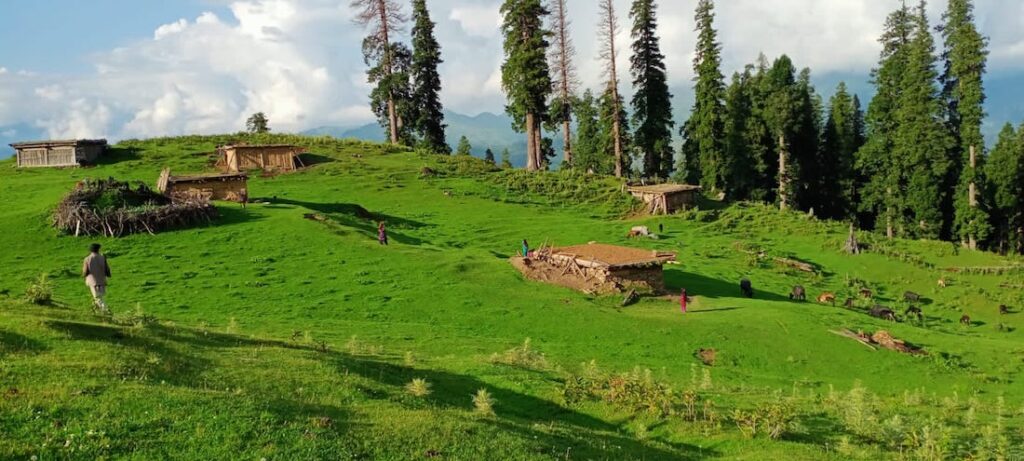
Dagantop
Dogan Top is situated about 10kms from Gool on Gool-Mahore road. It is situated at an altitude of nearly 2000 metres above the sea level and offers a panoramic view of the Gool town. The area has lush green meadows and offers excellent opportunity for winter games like skiing and snow sledges. The paragliding can also be done here. A helipad is located at the top.In summer months cool breeze is swirling around.
Tattapani
This place is famous for the sulphur spring whose water is believed to have miraculous healing powers. It is located at about 40kms from the Ramban town. Thousands of people throng the place from June to ending November every year from within and outside the state particularly from neighboring Punjab state to take a dip in these revered spring to get rid themselves of ailments particularly Dermatitis and Arthritis.
Pogal Paristan
Pogal-Paristan is newly carved out tehsil from Tehsil Banihal which came into being in the year 2014. It is situated about 35kms from District headquarter Ramban and 23kms from Banihal town.The tehsil head quarter is located at Ukhral just 8kms from National Highway via Magarkote.It is totally hilly area and consists of nine revenue villages, i.e., Pogal, Panchal, Alinbass, Paristan, Bingara, Dhanmasta, Sujmatna, Ramsu and Senabhati. The inhabitants of the area mainly depend upon agricultural activities and used to grow crops of all seasons like Maize, Potatoes, Pluses (Rajma) etc. The area has a potential of horticultural activities.
Banihal
Banihal has always been known as the gateway connecting Jammu and Srinagar which was made famous by the 2.5km long Jawahar tunnel and now the Banihal-Qazigund rail tunnel [India’s longest and the third longest in Asia]. Another four lined tunnel is under-construction, now in final stages. Banihal is located at an average elevation of 1666m (5466ft) and situated at a distance of about 30km from district headquarter and 37 km from Qazigund town of Anantnag district. According to “Rajtarangni” (meaning the ‘waves of king’)-a chronicle penned by Kashmiri historian Kalhana that recorded political history and heritage of Kashmir and its kingdoms and the kings till the 12th century, Banihal was known as ‘Vishalta’ in the 11th century and was a very narrow mountainous valley which was used as an escape route by revolting princes, rebels, chieftains and conspirators from Kashmir. Banihal in Kashmiri language mean ‘blizzard’ and the area has perhaps derived its name from the treacherous weather of Banihal pass which is situated at an elevation of 2832m (9291ft) on Pir-panchal mountain range and connects Banihal with Qazigund on other side of the mountain. The Pir-panchal mountain range separates Kashmir valley from the Himalayas and plains of the south. The pass is accessible only in summer and remains closed for rest of the year due to heavy snowfall. In 11th century, a small fort existed below the old Banihal pass called the ‘Bansalla’.The Bansalla fort belonged to the 11th century ruler of Vishalta-Khasa lord Bhagika who was son-in-law of lord Buddhal-Tikka.