
“The democratization of Indian geospatial ecosystem will spur domestic innovation and enable Indian companies to compete in the global mapping ecosystem by leveraging modern geospatial technologies and realising the dream of ‘Atmanirbhar Bharat’ fully.
-Dr Jitendra Singh, Union Minister of State (Independent Charge) Ministry of Science and Technology
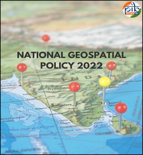
- The National Geospatial Policy, 2022, notified by the Government of India on December 28, 2022
- One of its key goals is to establish a high-resolution topographical survey and mapping system by 2030, alongside a highly accurate Digital Elevation Model (DEM) for the entire country.
Goals of the National Geospatial Policy
By 2025
- Establish an enabling policy and legal framework to support the liberalization of the geospatial sector and democratization of data.
- Enhance availability and accessibility of high-quality location data across sectors to drive innovation and enterprise.
- Develop a unified digital interface for accessing geospatial data collected through public funds.
- Redefine the National Geodetic Framework using modern positioning technologies, with online accessibility.
- Create a high-accuracy geoid model for the entire country.
- Strengthen national and sub-national geospatial governance by fostering collaboration between the government, private sector, academia, and civil society.
By 2030
- Conduct high-resolution topographical surveys (5–10 cm for urban/rural areas and 50–100 cm for forests/wastelands).
- Develop a high-accuracy Digital Elevation Model (DEM) (25 cm for plains, 1–3 m for hilly/mountainous areas).
- Establish a Geospatial Knowledge Infrastructure (GKI) underpinned by an Integrated Data and Information Framework.
- Enhance geospatial skills, capabilities, and awareness to meet future technological and economic demands.
By 2035
- Generate high-resolution bathymetric geospatial data for inland waters and deep-sea topography to support the Blue Economy.
- Survey and map sub-surface infrastructure in major cities and towns.
- Develop a National Digital Twin for major urban centers, creating digital replicas to improve urban planning and management.